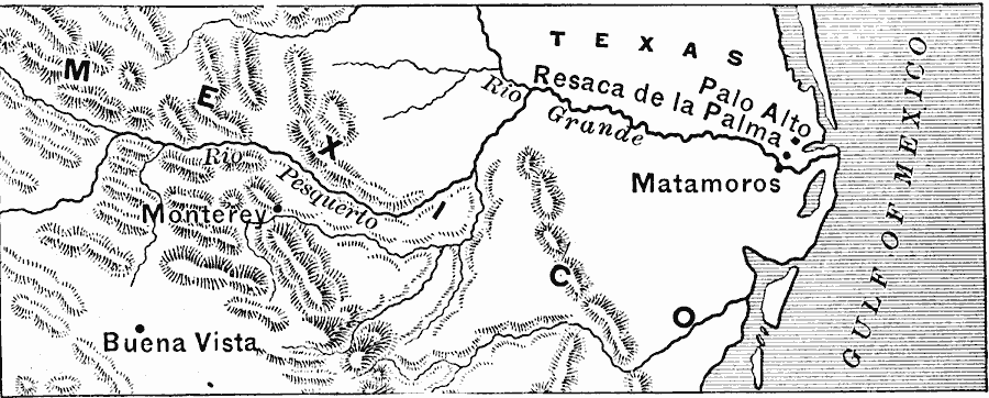
Description: A map of the Texas–Mexican frontier showing the sites of the opening hostilities of the Mexican–American War (1846–1848). The map shows the battle sites of Palo Alto and Resaca de la Palma in the disputed territory north of the Rio Grande (Río Bravo del Norte), and the campaign of General Taylor south of the river to Matamoros, Monterey, and Buena Vista.
Place Names: A Regional Map of North America, Mexico, �United State
ISO Topic Categories: boundaries,
inlandWaters,
location,
oceans,
intelligenceMilitary
Keywords: Palo Alto to Buena Vista during the Mexican–American War, physical, �political, �historical, �mexican war, physical features, country borders, boundaries,
inlandWaters,
location,
oceans,
intelligenceMilitary, Unknown, 1846–1847
Source: Edward Eggleston, The Household History of the United States and Its People (New York, NY: D. Appleton and Company, 1898) 287
Map Credit: Courtesy the private collection of Roy Winkelman |
|