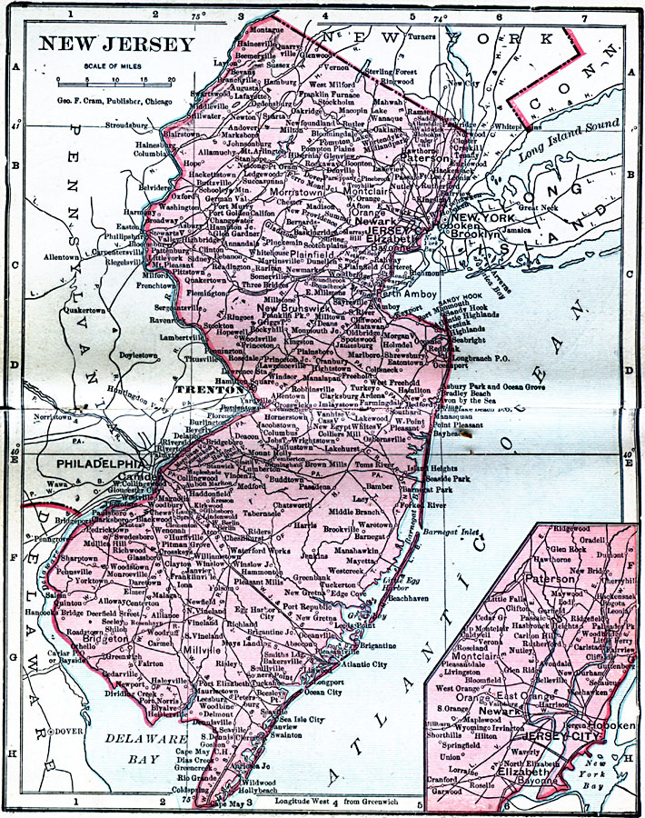
Description: New Jersey, showing towns, cities, and railroads, with an inset of the are around Jersey City.
Place Names: New Jersey, Atlantic City, �Burlington, �Camden, �Elizabeth, �Jersey City, �New Brunswick, �Newark, �Paterson, �Salem, �Trento
ISO Topic Categories: boundaries,
inlandWaters,
location,
oceans
Keywords: New Jersey, physical, �political, �borders, �boundaries, �physical features, country borders, boundaries,
inlandWaters,
location,
oceans, Unknown, 1906
Source: George F. Cram , Cram's Quick Reference Atlas and Gazetteer of the World (Chicago , IL: George F. Cram Series of Atlases, 1906) 17
Map Credit: Courtesy the private collection of Roy Winkelman |
|