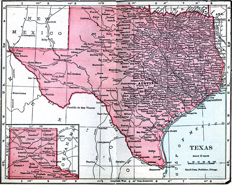
Description: A map from 1906 of Texas showing the capital at Austin, principal cities and towns, railroads, mountains, rivers, and coastal features.
Place Names: Texas, Amarillo, �Austin, �Brownsville, �Corpus Christi, �Dallas, �El Paso, �Galveston, �Houston, �San Antonio, �Wac
ISO Topic Categories: boundaries,
inlandWaters,
location,
oceans
Keywords: Texas, physical, �political, �borders, �boundaries, �physical features, country borders, boundaries,
inlandWaters,
location,
oceans, Unknown, 1906
Source: George F. Cram , Cram's Quick Reference Atlas and Gazetteer of the World (Chicago , IL: George F. Cram Series of Atlases, 1906) 36
Map Credit: Courtesy the private collection of Roy Winkelman |
|