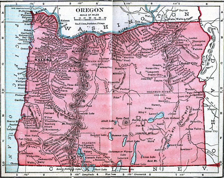
Description: A map from 1906 of Oregon showing the capital of Salem, principal cities and towns, Indian reservations, railroads, mountain systems, lakes, rivers, and coastal features.
Place Names: Oregon, Albany, �Astoria, �Canon City, �Dalles, �Eugene City, �Oregon City, �Portland, �Roseburg, �Salem, �Umatill
ISO Topic Categories: boundaries,
inlandWaters,
location,
oceans
Keywords: Oregon, physical, �political, �borders, �boundaries, kNativeAmerican, physical features, country borders, boundaries,
inlandWaters,
location,
oceans, Unknown, 1906
Source: George F. Cram , Cram's Quick Reference Atlas and Gazetteer of the World (Chicago , IL: George F. Cram Series of Atlases, 1906) 54
Map Credit: Courtesy the private collection of Roy Winkelman |
|