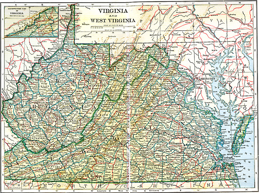
Description: The states of Virginia and West Virginia, and their counties.
Place Names: South Atlantic States, Alexandria, �Richmond, �Washington D.C., �Charleston, �Wheeling, �Hinton, �Winchester, �Salem, �Petersburg, �Suffolk, �Virginia, �West Virgini
ISO Topic Categories: boundaries,
transportation,
inlandWaters,
location
Keywords: Virginia and West Virginia, physical, �political, �transportation, physical features, local jurisdictions,
county borders, railroads, boundaries,
transportation,
inlandWaters,
location, Unknown, 1920
Source: John C. Winston, Winston's New and Complete Atlas of the World (New York, NY: The John C. Winston Company, 1920) 118
Map Credit: Courtesy the private collection of Roy Winkelman |
|