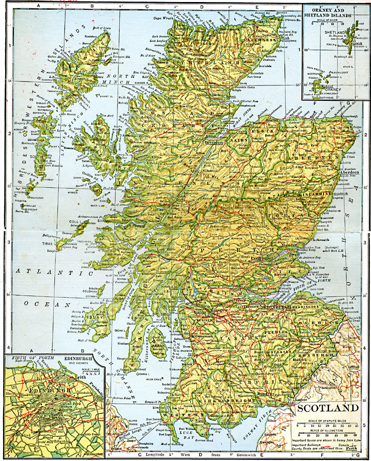
Description: A map showing Scotland, with a close–up of Edinburgh inset.
Place Names: United Kingdom, Edinborough, �Dundee, �Glasgo
ISO Topic Categories: boundaries,
transportation,
inlandWaters,
location,
oceans
Keywords: Scotland, physical, �political, �transportation, physical features, major political subdivisions,
county borders,
local jurisdictions, railroads,
water routes, boundaries,
transportation,
inlandWaters,
location,
oceans, Unknown, 1920
Source: John C. Winston, Winston's New and Complete Atlas of the World (New York, NY: The John C. Winston Company, 1920) 142
Map Credit: Courtesy the private collection of Roy Winkelman |
|