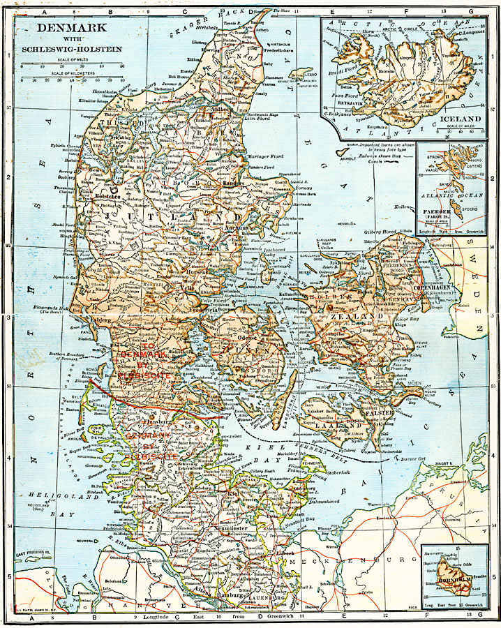
Description: A map from 1920 of Denmark, showing country boundaries, principal cities, towns and ports, railroads, rivers, islands, and coastal features. Inset maps detail Iceland, Faroe Islands, and Bornholm Island.
Place Names: Scandinavia, Denmark, �Icelan
ISO Topic Categories: boundaries,
location,
oceans,
inlandWaters,
transportation
Keywords: Denmark and Iceland, physical, �political, �transportation, physical features, country borders, railroads, boundaries,
location,
oceans,
inlandWaters,
transportation, Unknown, 1920
Source: John C. Winston, Winston's New and Complete Atlas of the World (New York, NY: The John C. Winston Company, 1920) 158
Map Credit: Courtesy the private collection of Roy Winkelman |
|