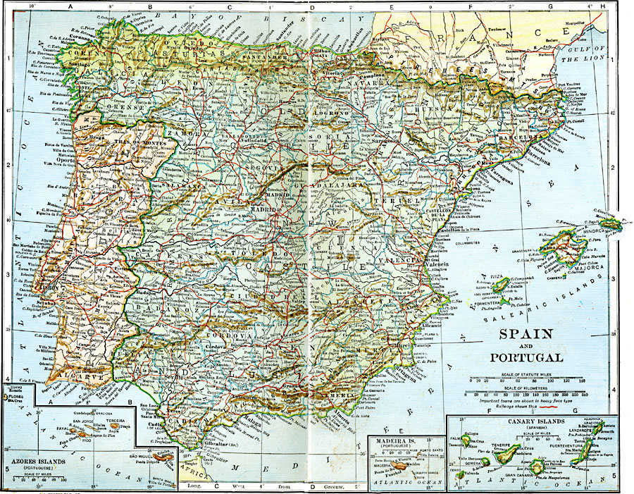
Description: A map from 1920 of Spain and Portugal, showing country boundaries and capitals, principal cities and towns, railroads, mountain systems, lakes, rivers, islands, and coastal features. Inset maps detail the Azores, Madeira Islands, and Canary Islands.
Place Names: Iberian Peninsula, Spain, �Portuga
ISO Topic Categories: boundaries,
location,
oceans,
inlandWaters,
transportation
Keywords: Spain and Portugal, physical, �political, �transportation, physical features, country borders,
major political subdivisions, railroads, boundaries,
location,
oceans,
inlandWaters,
transportation, Unknown, 1920
Source: John C. Winston, Winston's New and Complete Atlas of the World (New York, NY: The John C. Winston Company, 1920) 162
Map Credit: Courtesy the private collection of Roy Winkelman |
|