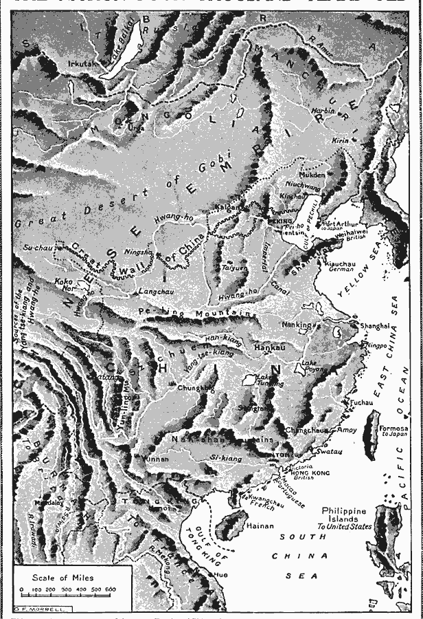
Description: A relief map from 1912 of China and the Chinese Empire at the time. The map shows mountain systems, basins, deserts, plains, major rivers, coastal features, and islands of the region. The Great Wall of China is shown, as well as major cities.
Place Names: China, Beijing, �Canton, �Yunnan, �Nanjing, �Shanghai, �Hong Kon
ISO Topic Categories: structure
Keywords: China, physical, �political, kRelief, physical features, country borders, structure, Unknown, 1912
Source: Arthur Mee and Holland Thompson, Ph.D., The Book of Knowledge Vol 1 (New York, NY: The Grolier Society, 1912) 1912
Map Credit: Courtesy the private collection of Roy Winkelman |
|