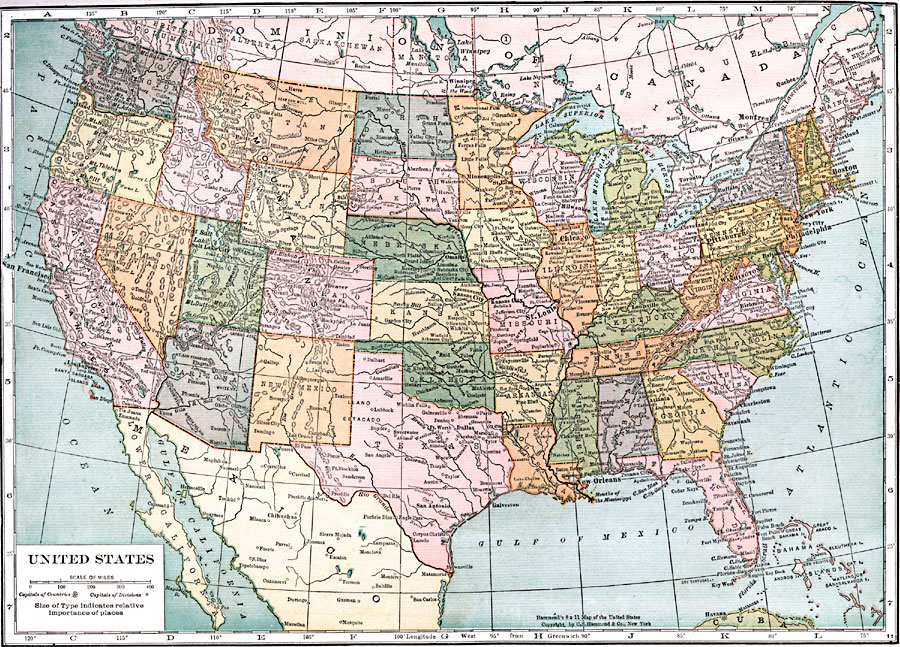
Description: A map from 1920 of the continental United States showing state boundaries and state capitals, major cities and towns, mountain systems, lakes, rivers, and coastal features.
Place Names: A Complete Map of the United States, Miami, �New Orleans, �San Antonio, �Dallas, �Phoenix, �San Francisco, �Marysille, �Portland, �Seattle, �Butte, �Kansas City, �Omaha, �Minneapolis, �St. Paul, �St. Louis, �Louisville, �Chicago, �Milwaukee, �Detroit, �Pittsburgh, �Boston, �New York, �Phi
ISO Topic Categories: boundaries,
inlandWaters,
location,
oceans
Keywords: United States, physical, �political, physical features, country borders,
major political subdivisions, boundaries,
inlandWaters,
location,
oceans, Unknown, 1920
Source: , Leslie's New World Atlas (New York City, NY: Leslie-Judge Company, 1920) 39
Map Credit: Courtesy the private collection of Roy Winkelman |
|