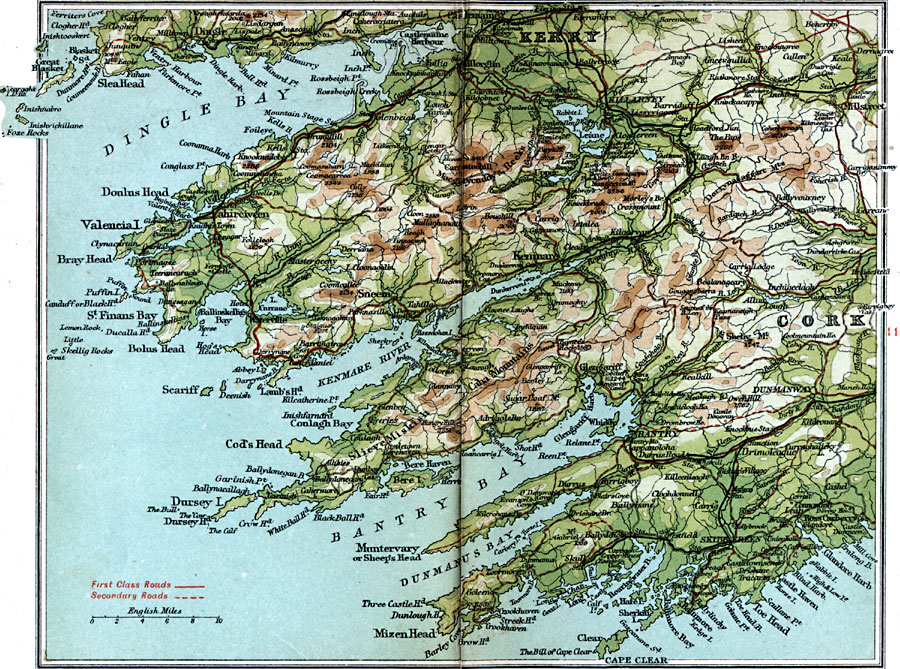
Description: A detailed travel map of Bantry and Killarney in Cork, Ireland in 1908. The map shows first class and secondary roads, cities, towns, ports, rivers, terrain, and coastal features of the area, including Dingle Bay, Kenmare River, Bantry Bay, Mizen Head, and Cape Clear. This map uses contour–coloring to show terrain.
Place Names: Ireland, Bantry, �Cork, �Dingle, �Dunmanway, �Kenmare, �Kerry, �Killarne
ISO Topic Categories: inlandWaters,
location,
oceans,
transportation
Keywords: Bantry and Killarney, roads, �transportation, roads, inlandWaters,
location,
oceans,
transportation, Unknown, 1908
Source: J.G. Bartholomew, F.R.G.S., The Handy Touring Atlas of the British Isles Specially Prepared for Cyclists, Motorists, and Travellers (London, United Kingdom : George Newnes, Limited, 1908) 118-119
Map Credit: Courtesy the private collection of Roy Winkelman |
|