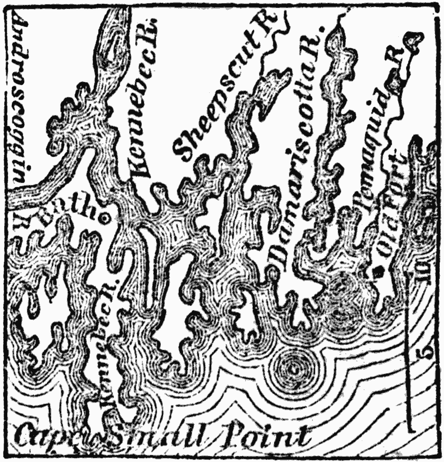
Description: A map from 1872 of the area around the early settlement of Fort Pemquid. The fort at Pemaquid, the most noted place in the early history of Maine, was in the present town of Bremen, on the east side of and near the mouth of Pemaquid river, which separates the towns of Bremen and Bristol.
Place Names: Maine, Pemaqiud, �Breme
ISO Topic Categories: location,
oceans,
inlandWaters
Keywords: Vicinity of Pemaquid Fort, physical, physical features, location,
oceans,
inlandWaters, Unknown, 1872
Source: Marcius Willson, History of the United States (New York, NY: Ivison, Blakeman, Taylor, and Co., 1872) 91
Map Credit: Courtesy the private collection of Roy Winkelman |
|
