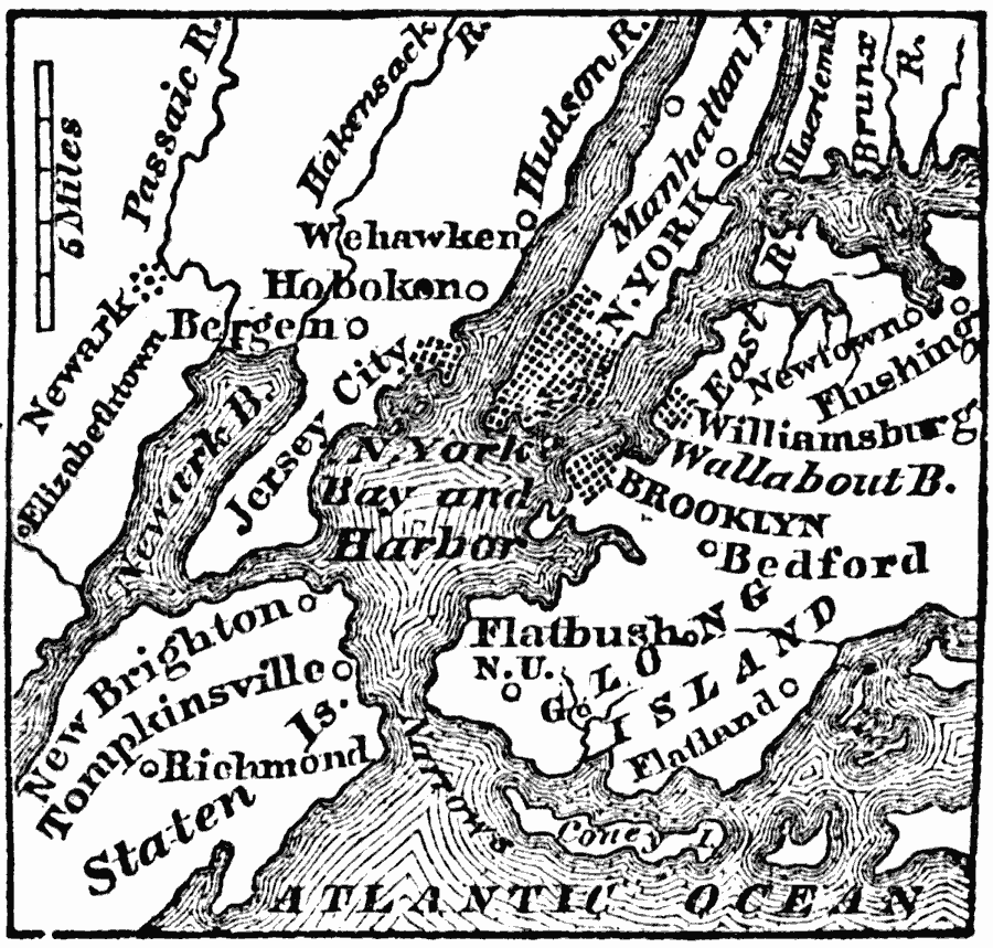
Description: A map from 1872 showing the entrance to New York harbor, between Long Island on the east and Staten Island on the west, is called the Narrows. It is about one mile wide, and is nine miles below the city.
Place Names: New York, Brooklyn, �Hoboken, �Manhattan, �New York Cit
ISO Topic Categories: oceans,
inlandWaters,
location
Keywords: New York Harbor, political, �physical, physical features, local jurisdictions, oceans,
inlandWaters,
location, Unknown, 1872
Source: Marcius Willson, History of the United States (New York, NY: Ivison, Blakeman, Taylor, and Co., 1872) 117
Map Credit: Courtesy the private collection of Roy Winkelman |
|