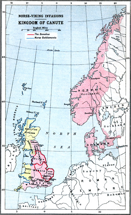
Description: A map of northern Europe showing the kingdom of Canute the Great. The map is color–coded to show the Danish territories in Denmark, Norway (Northmen), southern Gothland, and the Norse–Viking invasion of the British Isles, including the Danelaw territories in Great Britain and the coastal Norse settlements. The map also shows Sweden, the Scottish Kingdom, Strathclyde, North and West Wales, Northumbria, Mercia, East Anglia, Wessex, Ireland, and the Brittany, Normandy, Lotharingia, Friesland, Saxony, Slaves, and Bohemia portions of the (Holy) Roman Empire.
Place Names: Western and Central Europe, Danilaw, �Denmark, �Norway, �Roman Empire, �Scottish Kingdom, �Sweden
ISO Topic Categories: inlandWaters,
location,
oceans
Keywords: Kingdom of Canute — Norse–Viking Invasions, country borders, �political, country borders, inlandWaters,
location,
oceans, Unknown, 995 to 1035
Source: J.G. Bartholomew, LLD, A Literary & Historical Atlas of Europe (New York, NY: E.P. Dutton & Co., Ltd. , 1910) 22
Map Credit: Courtesy the private collection of Roy Winkelman |
|