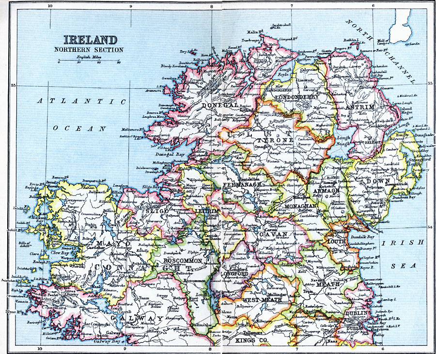
Description: A map of the northern section of Ireland in 1910, showing county boundaries, cities, towns, ports, railways, canals, rivers, lakes, terrain, and coastal features north of Dublin and Galway.
Place Names: Ireland, Antrim, �Armagh, �Belfast, �Cavan, �Connaught, �Donegal, �Down, �Dublin, �Galway, �Londonderry, �Monaghan, �Sligo,
ISO Topic Categories: inlandWaters,
location,
oceans
Keywords: Ireland: Northern Section, physical, �physical features, �topographical, �political, �country borders, topographical,
physical features, country borders, inlandWaters,
location,
oceans, Unknown, 1910
Source: J.G. Bartholomew, LLD, A Literary & Historical Atlas of Europe (New York, New York: E.P. Dutton & Co., Ltd. , 1910) 66-67
Map Credit: Courtesy the private collection of Roy Winkelman |
|