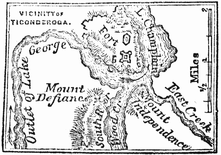
Description: A map of the area around Fort Ticonderoga during the American Revolutionary War.
Place Names: New York, Ticonderog
ISO Topic Categories: intelligenceMilitary,
location,
inlandWaters,
structure
Keywords: Vicinity of Ticonderoga, physical, �historical, kAmericanRevolution, physical features, American Revolution, intelligenceMilitary,
location,
inlandWaters,
structure, Unknown, 1777
Source: Marcius Willson, History of the United States (New York, NY: Ivison, Blakeman, Taylor, and Co., 1872) 240
Map Credit: Courtesy the private collection of Roy Winkelman |
|