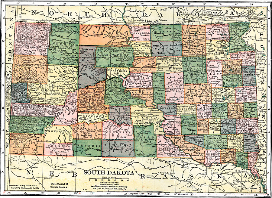
Description: A map from 1920 of South Dakota showing the capital at Pierre, counties and county seats, principal cities and towns, railroads, mountains, lakes, and rivers.
Place Names: South Dakota, Bellefourche, �Deadwood, �Lead, �Sturgis, �Rapid City, �Hot Springs, �Pierre, �Aberdeen, �Redfield, �Huron, �Mitchell, �Scotland, �Yankton, �Vermillion, �Beresford, �Sioux Falls, �Lake City, �Dell Rapids, �Madison, �Brookings, �Watertown, �Webster, �Mi
ISO Topic Categories: boundaries,
inlandWaters,
location,
transportation
Keywords: South Dakota, physical, �political, �transportation, physical features, major political subdivisions,
county borders, roads,
railroads, boundaries,
inlandWaters,
location,
transportation, Unknown, 1920
Source: , Leslie's New World Atlas (New York City, NY: Leslie-Judge Company, 1920) 89
Map Credit: Courtesy the private collection of Roy Winkelman |
|