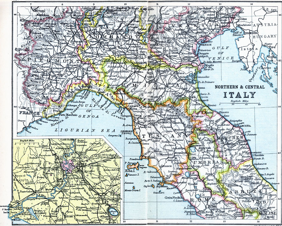
Description: A map of northern and central Italy in 1910 showing the provinces of Piedmont, Lombardy, Venetia, Liguria, Emilia, Tuscany, Umbria, Marches, Rome, Abruzzi and Molise. The map shows major cities, towns, ports, railways, rivers, lakes, and terrain. An inset map details the environs of Rome
Place Names: Italy, Abruzzi, �Bologna, �Florence, �Liguria, �Lombardy, �Marches, �Milan, �Molise, �Piedmont, �Rome, �Tuscany, �Umbria, �Veneti
ISO Topic Categories: inlandWaters,
location,
oceans
Keywords: Northern and Central Italy, physical, �physical features, �topographical, �political, �country borders, topographical,
physical features, country borders, inlandWaters,
location,
oceans, Unknown, 1910
Source: J.G. Bartholomew, LLD, A Literary & Historical Atlas of Europe (New York, New York: E.P. Dutton & Co., Ltd. , 1910) 82-83
Map Credit: Courtesy the private collection of Roy Winkelman |
|