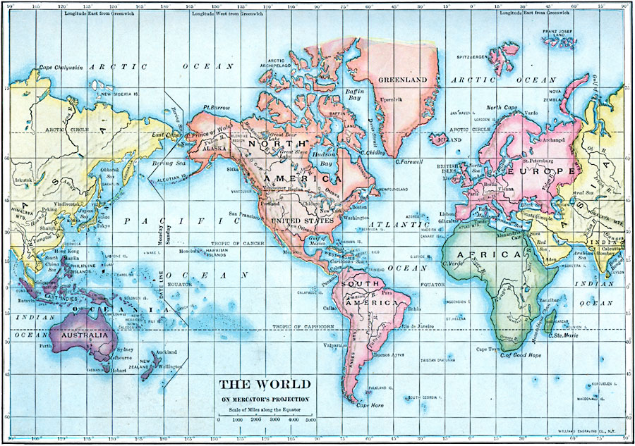
Description: A map of the world from 1910 on a Mercator's Projection. This map centers on North and South America rather than being Eurocentric, resulting in splitting the Eurasian landmass along longitude 90°.
Place Names: A Complete Map of Globes and Multi-continent, Africa, �Asia, �Australia, �Europe, �North America, �South Americ
ISO Topic Categories: inlandWaters,
location,
oceans
Keywords: The World, physical, kMapProjection, physical features, inlandWaters,
location,
oceans, Mercator,
1910
Source: Ralph S. Tarr, B.S., F.G.S.A. and Frank M. McMurry, Ph.D., New Geographies 2nd ed (New York, NY: The Macmillan Company, 1910) xvii
Map Credit: Courtesy the private collection of Roy Winkelman |
|