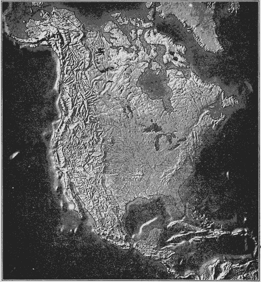
Description: A relief map from 1910 of North America showing mountain, plateau, basin, and plains terrain, lakes and river systems, islands, and coastal features of the region. The submerged continental plateau is also shown.
Place Names: A Complete Map of North America, United States, �Cuba, �Mexico, �Canada, �Bahama
ISO Topic Categories: inlandWaters,
location,
oceans
Keywords: Relief Features of North America, physical, kRelief, physical features, inlandWaters,
location,
oceans, Unknown, 1910
Source: Ralph S. Tarr, B.S., F.G.S.A. and Frank M. McMurry, Ph.D., New Geographies 2nd ed (New York, NY: The Macmillan Company, 1910) 5
Map Credit: Courtesy the private collection of Roy Winkelman |
|