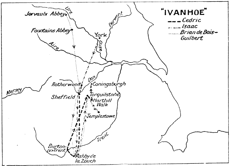
Description: A map illustrating place names and routes of the main characters from Sir Walter Scott's novel Ivanhoe, set in the time of the Third Crusade and England's Norman Era. The map shows the routes of Cedric, Isaac, and Brian de Bois–Guilbert, and shows the locations of several rivers, abbeys, and cities, including Ashby de la Zouch, where Scott introduces Robin Hood.
Place Names: United Kingdom, Burton-on-Trent, �England, �Mersey, �United Kingdom,
ISO Topic Categories: location
Keywords: Ivanhoe, historical, kLiterature, location, Unknown, Circa 1150 to 1200
Source: J.G. Bartholomew, LLD, A Literary & Historical Atlas of Europe (New York, New York: E.P. Dutton & Co., Ltd. , 1910) 129
Map Credit: Courtesy the private collection of Roy Winkelman |
|