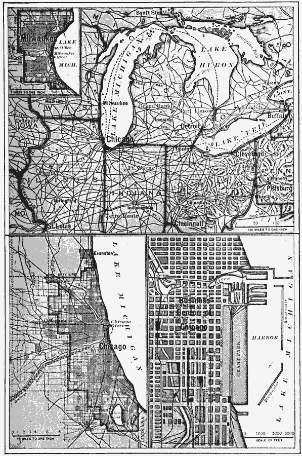
Description: The location of Chicago and Milwaukee.
Place Names: Midwest States, Chicago, �Milwaukee, �Detroit, �Pittsburg, �Great Lake
ISO Topic Categories: boundaries,
inlandWaters,
location,
oceans
Keywords: Chicago and Milwaukee, political, �transportation, �physical, physical features, local jurisdictions,
major political subdivisions, roads,
railroads,
water routes, boundaries,
inlandWaters,
location,
oceans, Unknown, 1910
Source: Ralph S. Tarr, B.S., F.G.S.A. and Frank M. McMurry, Ph.D., New Geographies 2nd ed (New York, NY: The Macmillan Company, 1910) 109
Map Credit: Courtesy the private collection of Roy Winkelman |
|