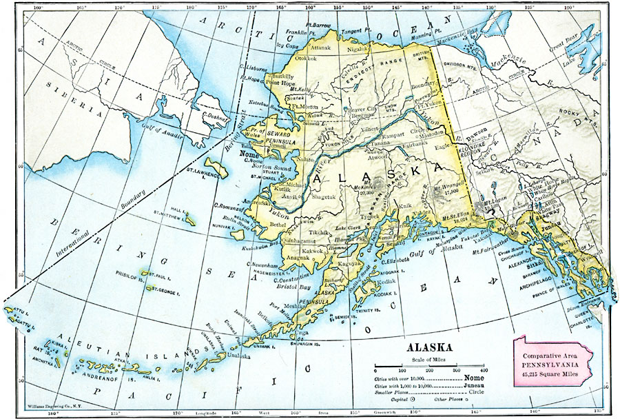
Description: A map of Alaska from 1910 showing the State capital at Juneau, cities, towns, ports, major rivers and mountains with elevations of prominent peaks given, coastal features, and islands. The map includes an outline map of Pennsylvania at the same map scale to show relative area size.
Place Names: Alaska, Nome, �Anchorage, �Juneau, �Fairbanks, �Kenai, �Kodiak, �Sitka, �Skagwa
ISO Topic Categories: boundaries,
location,
inlandWaters,
oceans
Keywords: Alaska, physical, �political, kComparativeArea, physical features, country borders, boundaries,
location,
inlandWaters,
oceans, Unknown, 1910
Source: Ralph S. Tarr, B.S., F.G.S.A. and Frank M. McMurry, Ph.D., New Geographies 2nd ed (New York, NY: The Macmillan Company, 1910) 149
Map Credit: Courtesy the private collection of Roy Winkelman |
|
