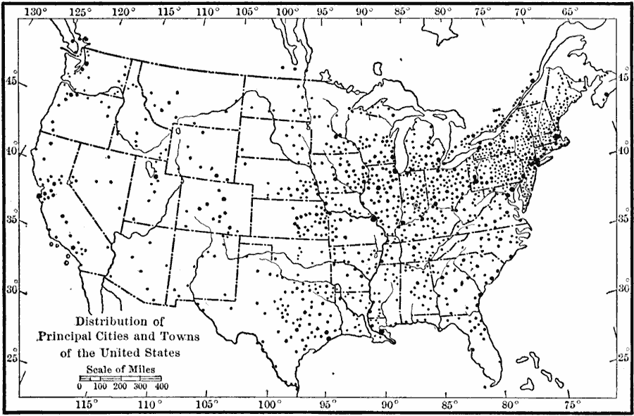
Description: A map from 1910 showing the general distribution of the principal cities and towns in the United States at the time.
Place Names: A Complete Map of the United States, cities,
ISO Topic Categories: society,
inlandWaters,
location,
oceans,
boundaries
Keywords: Cities in the United States, physical, �political, �cities, kPopulation, physical features, major political subdivisions, society,
inlandWaters,
location,
oceans,
boundaries, Unknown, 1910
Source: Ralph S. Tarr, B.S., F.G.S.A. and Frank M. McMurry, Ph.D., New Geographies 2nd ed (New York, NY: The Macmillan Company, 1910) 182
Map Credit: Courtesy the private collection of Roy Winkelman |
|