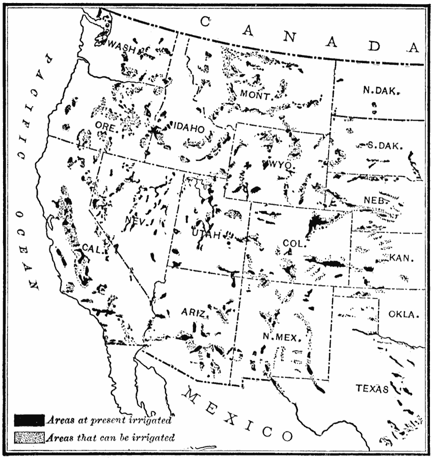
Description: irrigation in the United States in 1910.
Place Names: Western States, Pacific States, �Rocky Mountain Region, �Texas, �Washington State, �West Coast, �Great Plains, �Californi
ISO Topic Categories: planningCadastre,
inlandWaters,
location,
oceans,
boundaries,
farming
Keywords: Irrigation in the United States, physical, �political, �hydrological, �irrigation, physical features, country borders,
major political subdivisions, planningCadastre,
inlandWaters,
location,
oceans,
boundaries,
farming, Unknown, 1910
Source: Ralph S. Tarr, B.S., F.G.S.A. and Frank M. McMurry, Ph.D., New Geographies 2nd ed (New York, NY: The Macmillan Company, 1910) 186
Map Credit: Courtesy the private collection of Roy Winkelman |
|