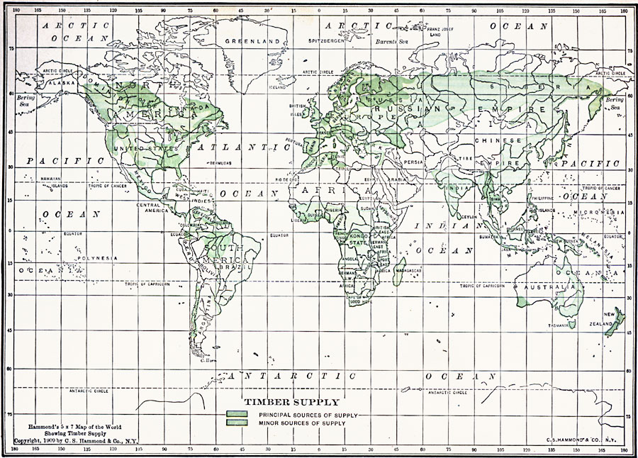
Description: A world map of the world from 1909 showing regions of timber resources. This map is color–coded to show the primary (dark green) and secondary sources (light green) of timber throughout the world.
Place Names: A Complete Map of Globes and Multi-continent, Africa, �Antarctica, �Asia, �Australia, �Europe, �North America, �Oceania, �South Americ
ISO Topic Categories: oceans,
location,
inlandWaters
Keywords: Timber Supply of the World, country borders, �political, �statistical, �timber, kResources, country borders, oceans,
location,
inlandWaters, Unknown, 1909
Source: C. S. Hammond, Hammond's Handy Atlas of the World (New York, New York: C. S. Hammond & Company, 1911) 7
Map Credit: Courtesy the private collection of Roy Winkelman |
|