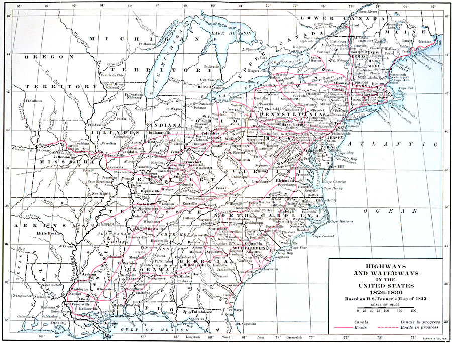
Description: Highways and waterways in the United States, 1826—1830.
Place Names: Transportation, Chicago, �New Orleans, �New York, �Washington D.C., �Boston, �railroad
ISO Topic Categories: boundaries,
inlandWaters,
location,
oceans,
transportation
Keywords: Transportation Routes in the US, physical,
transportation,
political, physical features, country borders,
major political subdivisions, roads,
railroads, boundaries,
inlandWaters,
location,
oceans,
transportation, Unknown, 1826–1830
Source: Albert Bushnell Hart, LL.D., The American Nation Vol 14 (New York, NY: Harper and Brothers, 1906) 226
Map Credit: Courtesy the private collection of Roy Winkelman |
|