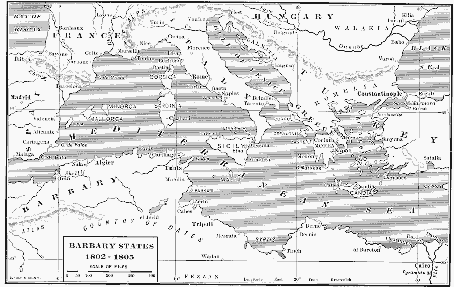
Description: A map of the Mediterranean Sea region showing the Barbary States and southern Europe at the time of the Tripolitan War (First Barbary War — 1801–1804) between the United States and the North African Ottoman Empire regencies. The map shows the strategically significant location of the Barbary Coast and the cities of Algier, Tunis, and Tripoli in relation to merchant shipping between the major trade centers of the Strait of Gibraltar and the Atlantic, the Suez Isthmus connection to the Red Sea and Indian Ocean, Constantinople, and the European Mediterranean trade centers of Barcelona, Marseilles, Genoa, and Venice.
Place Names: A Regional Map of Africa, Africa, �Europe, �Algiers, �Morocco, �Tripoli, �Tunis, Country of Dates, Alexandria
ISO Topic Categories: boundaries,
inlandWaters,
location,
oceans
Keywords: The Barbary States, physical, �political, physical features, country borders,
major political subdivisions, boundaries,
inlandWaters,
location,
oceans, Unknown, 1802–1805
Source: Albert Bushnell Hart, LL.D., The American Nation Vol 12 (New York, NY: Harper and Brothers, 1906) 38
Map Credit: Courtesy the private collection of Roy Winkelman |
|