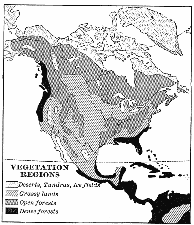
Description: A map from 1901 of North America, Central America, Greenland, and the Caribbean to Puerto Rico showing the general vegetation regions. The map shows areas of deserts, tundras, and ice fields, areas of grassy lands, areas of open forests, and areas of dense forests in the region.
Place Names: A Complete Map of North America, Bahamas, �Canada, �Cuba, �Mexico, �United State
ISO Topic Categories: biota,
inlandWaters,
oceans
Keywords: North American Vegetation Regions, physical, �statistical, kBiodiversity, physical features, vegetation, biota,
inlandWaters,
oceans, Unknown, 1901
Source: Jacques W. Redway, Natural Advanced Geography (New York, NY: American Book Company, 1901) 46
Map Credit: Courtesy the private collection of Roy Winkelman |
|