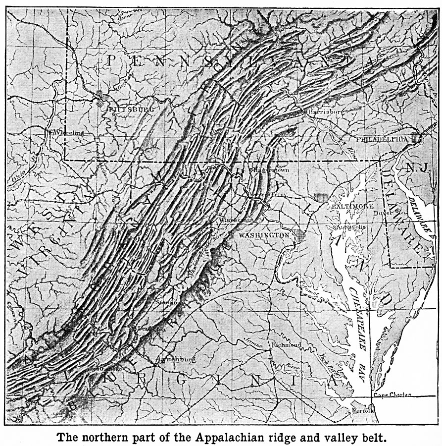
Description: A relief map from 1901 of the northern Appalachian Ridge and Valley belt extending from central Pennsylvania south to southern West Virginia. The map shows the distinctive long, parallel, sharp–crested ridges typical of this part of the Appalachian topography. The map also shows state boundaries, major cities, railroads, and river systems in the region.
Place Names: Atlantic States, Virginia, �West Virginia, �Pennsylvania, �Maryland, �Delaware, �New Jersey, �Baltimore, �Washington D.C., �Philadelphia, �Harrisburg, �Pittsburg, �Wheeling, �Richmond, �Linchburg, �Appalachian Mountain
ISO Topic Categories: boundaries,
inlandWaters,
location,
oceans
Keywords: Northern Appalachian Ridge and Valley Belt, physical, �political, kRelief, physical features,
topographical, major political subdivisions, boundaries,
inlandWaters,
location,
oceans, Unknown, 1901
Source: Jacques W. Redway, Natural Advanced Geography (New York, NY: American Book Company, 1901) 50
Map Credit: Courtesy the private collection of Roy Winkelman |
|