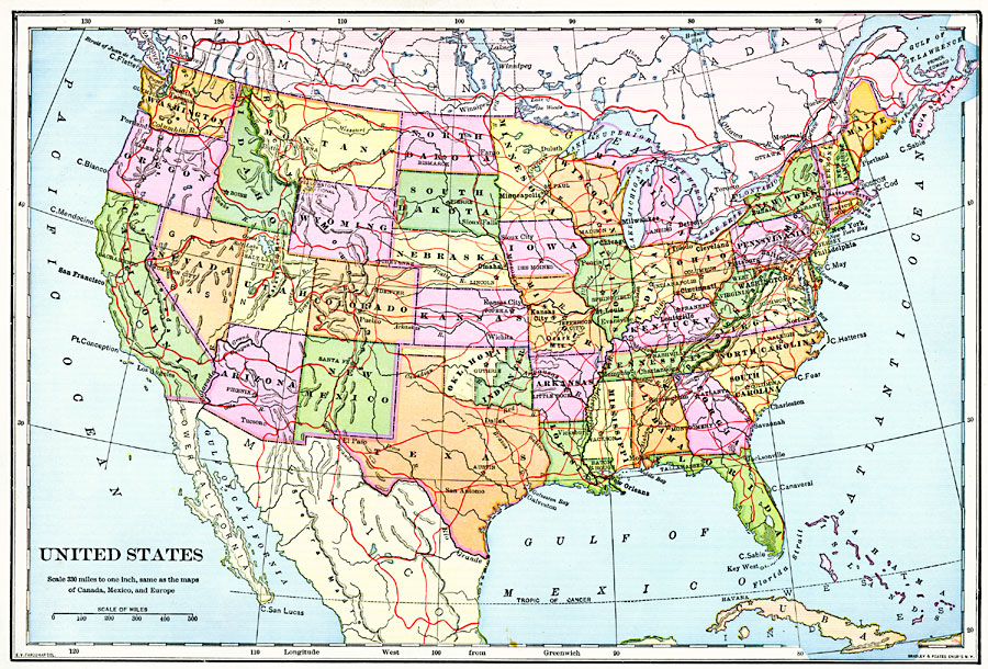
Description: A map from 1901 of the continental United States showing state boundaries and state capitals, major cities and towns, railroads with connecting lines to the Dominion of Canada and to Mexico, mountain systems, lakes, rivers, and coastal features.
Place Names: A Complete Map of the United States, Philadelphia, �New York, �New Orleans, �Baltimore, �Portland, �Kansas City, �Minneapolis, �Dallas, �Los Angeles, �San Francisco, �Seattl
ISO Topic Categories: boundaries,
inlandWaters,
location,
oceans
Keywords: United States, physical, �political, physical features, country borders,
major political subdivisions, boundaries,
inlandWaters,
location,
oceans, Unknown, 1901
Source: Jacques W. Redway, Natural Advanced Geography (New York, NY: American Book Company, 1901) 56
Map Credit: Courtesy the private collection of Roy Winkelman |
|