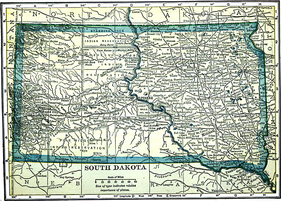
Description: A map from 1909 of South Dakota showing the capital at Pierre, principal cities and towns, Indian reservations, railroads, mountains, lakes, and rivers.
Place Names: South Dakota, Brookings, �Hot Springs, �Lead,�Pierre, �Sioux Falls,
ISO Topic Categories: oceans,
location,
inlandWaters
Keywords: South Dakota, historical, �Indian reservations, �local jurisdictions, �political, local jurisdictions, oceans,
location,
inlandWaters, Unknown, 1909
Source: C. S. Hammond, Hammond's Handy Atlas of the World (New York, NY: C. S. Hammond & Company, 1911) 54
Map Credit: Courtesy the private collection of Roy Winkelman |
|