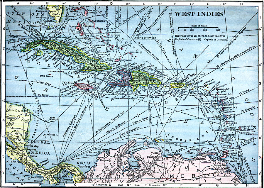
Description: A map from 1909 of the West Indies and the Bahama Island group, showing capitals, major cities, towns and ports, railroads, steamship routes, submarine telegraph routes, terrain, and coastal features. The foreign possessions in the region are indicated.
Place Names: A Regional Map of North America, Cuba, �Haiti, �Jamaica, �Puerto Ric
ISO Topic Categories: oceans,
location,
inlandWaters
Keywords: West Indies, local jurisdictions, �political, kCaribbean, local jurisdictions, oceans,
location,
inlandWaters, Unknown, 1909
Source: C. S. Hammond, Hammond's Handy Atlas of the World (New York, NY: C. S. Hammond & Company, 1911) 71
Map Credit: Courtesy the private collection of Roy Winkelman |
|