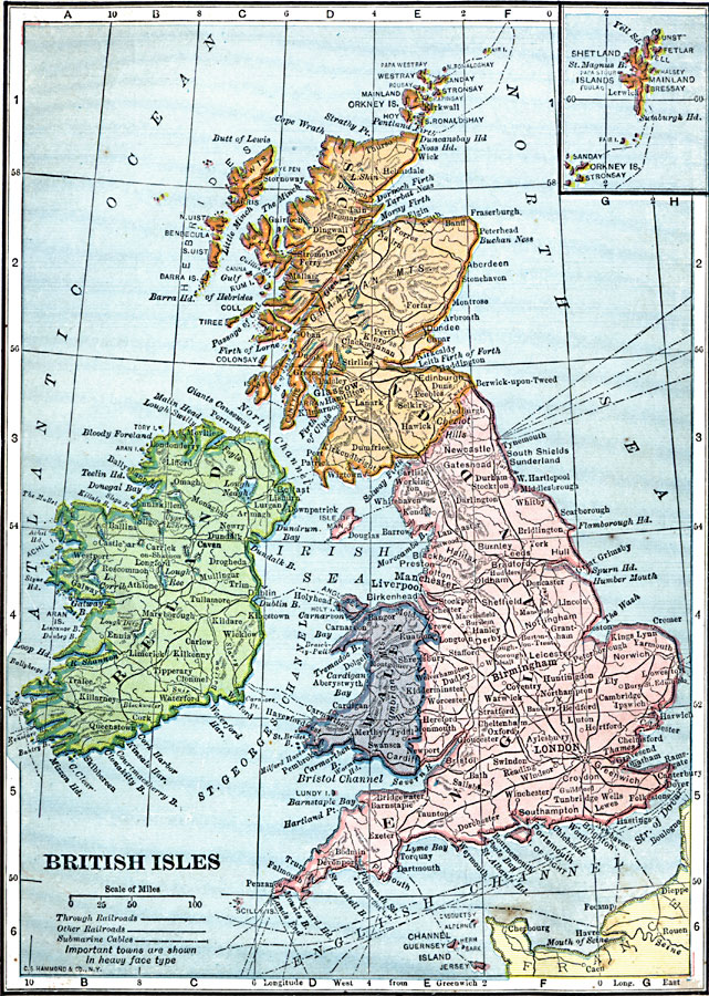
Description: A map of the British Isles in 1909, showing England, Wales, Scotland, and Ireland, with major cities and towns, railroads, and submarine cables. An inset map details the Shetland and Orkney islands.
Place Names: United Kingdom, France, �Germany, �Greece, �Italy, �Poland, �Portugal, �Romania, �Spain, �Sweden, �United Kingdom, �Wale
ISO Topic Categories: oceans,
location,
inlandWaters
Keywords: British Isles, local jurisdictions, �political, �railroads, �transportation, local jurisdictions, oceans,
location,
inlandWaters, Unknown, 1909
Source: C. S. Hammond, Hammond's Handy Atlas of the World (New York, New York: C. S. Hammond & Company, 1911) 77
Map Credit: Courtesy the private collection of Roy Winkelman |
|
