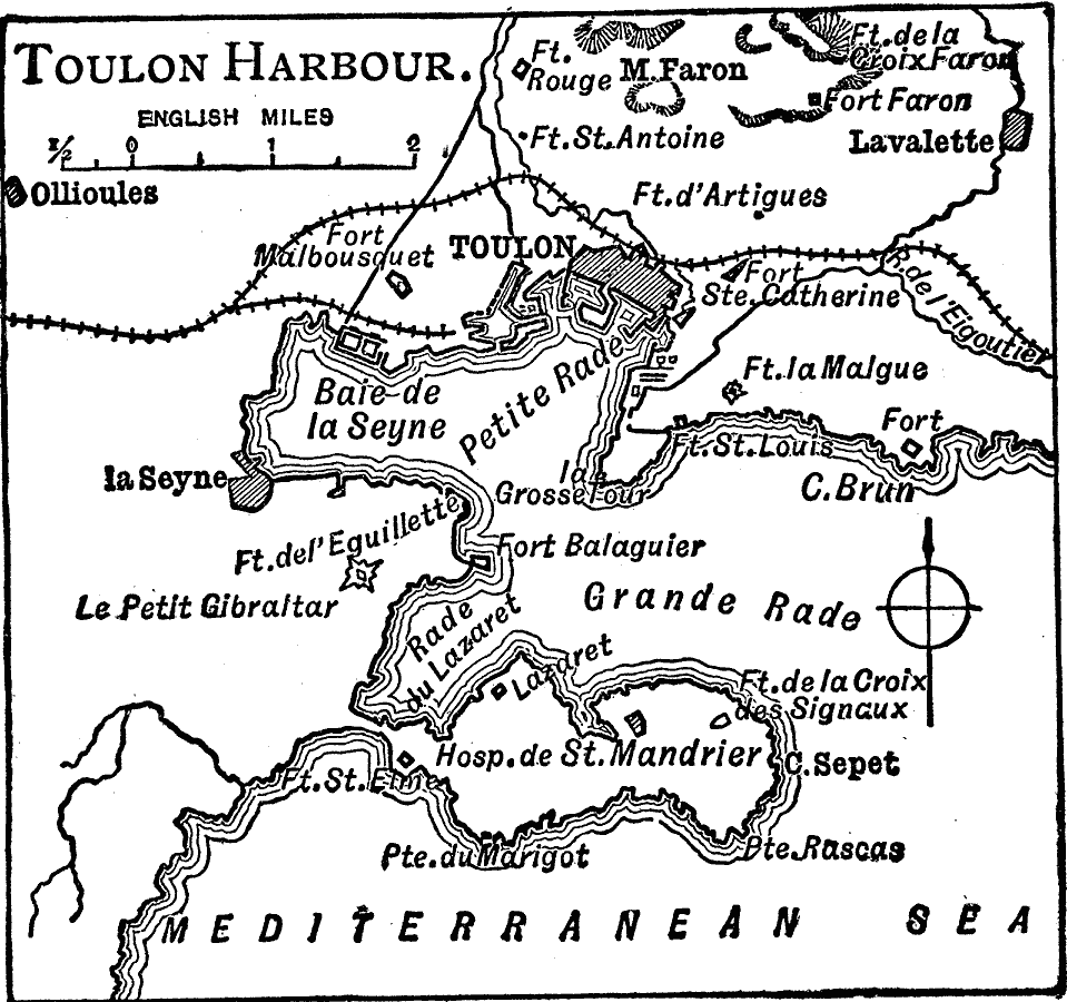
Description: A map of Toulon, a French port on the Mediterranean in 1910. The map shows the Grande and Petit Rade, Baie de la Seyne, neighboring cities and towns, the railway, several forts, and coastal features.
Place Names: France, Toulon, �Lavalett
ISO Topic Categories: inlandWaters,
location,
oceans,
transportation
Keywords: Toulon Bay, physical, �transportation, physical features, railroads, inlandWaters,
location,
oceans,
transportation, Unknown, 1919
Source: Charles Morris, Winston's Cumulative Encyclopedia Vol 10 (Philadelphia, PA: The John C. Winston Company, 1919) tab 6
Map Credit: Courtesy the private collection of Roy Winkelman |
|