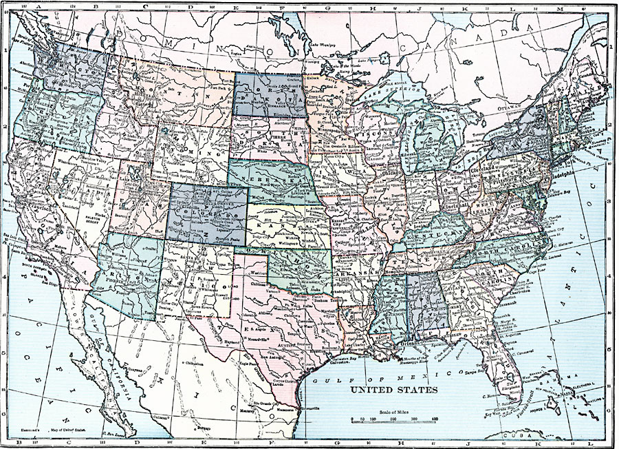
Description: A map from 1919 of the continental United States showing state boundaries. The map shows state capitals and major cities, mountain systems, lakes, rivers, and coastal features.
Place Names: A Complete Map of the United States, Boston, �Chicago, �Houston, �Los Angeles, �Miami, �New Orleans, �New York, �San Diego, �Seattle, �Washington D.C
ISO Topic Categories: boundaries,
inlandWaters,
oceans,
location
Keywords: The United States, political, �physical, physical features, country borders,
major political subdivisions, boundaries,
inlandWaters,
oceans,
location, Unknown, 1919
Source: Charles Morris, Winston's Cumulative Encyclopedia Vol 10 (Philadelphia, PA: The John C. Winston Company, 1919) blue tab
Map Credit: Courtesy the private collection of Roy Winkelman |
|