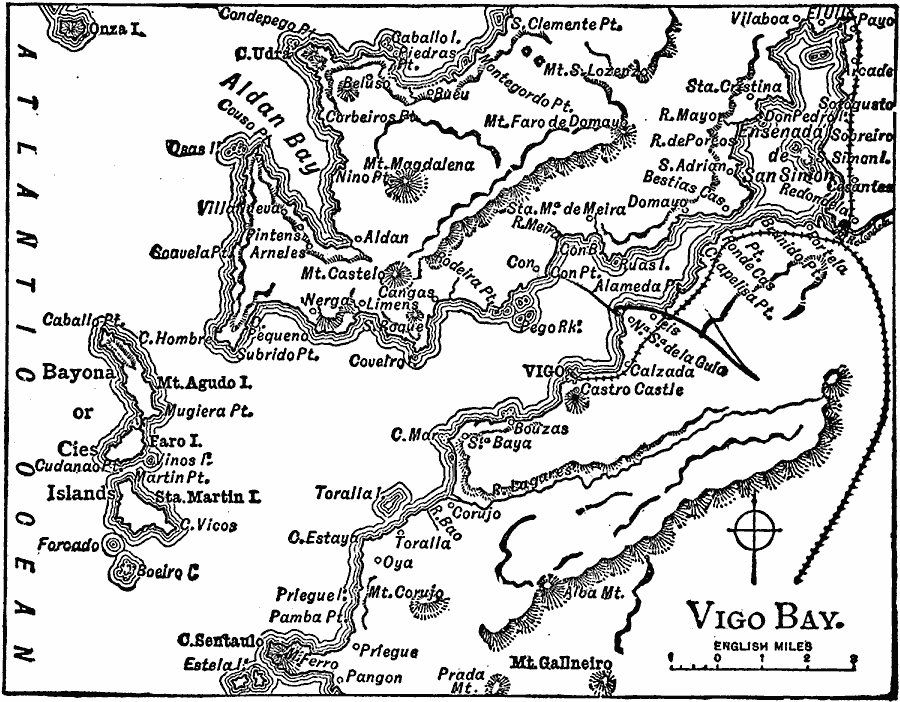
Description: A map showing the area around Vigo in 1919, a city and seaport on the Atlantic Coast of Spain, north of Portugal. The map shows the cities, towns, and ports of Vigo Bay, railroads, rivers, mountains, islands, and coastline.
Place Names: Spain, Vig
ISO Topic Categories: boundaries,
location,
inlandWaters,
oceans,
transportation
Keywords: Vigo Bay, physical, �transportation, physical features, railroads, boundaries,
location,
inlandWaters,
oceans,
transportation, Unknown, 1919
Source: Charles Morris, Winston's Cumulative Encyclopedia Vol 10 (Philadelphia, PA: The John C. Winston Company, 1919) tab 14
Map Credit: Courtesy the private collection of Roy Winkelman |
|