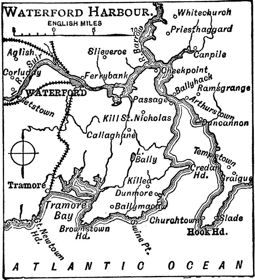
Description: A map of Waterford Harbour, Ireland, in 1909, showing the cities of Waterford and Tramore, the railway, waterways, coastal features, and smaller towns in the area.
Place Names: Ireland, Waterfor
ISO Topic Categories: transportation,
inlandWaters,
location,
oceans
Keywords: Waterford Harbor, physical, �transportation, physical features, railroads, transportation,
inlandWaters,
location,
oceans, Unknown, 1909
Source: Charles Morris, Winston's Cumulative Encyclopedia Vol 10 (Philadelphia, PA: The John C. Winston Company, 1919) tab 19
Map Credit: Courtesy the private collection of Roy Winkelman |
|