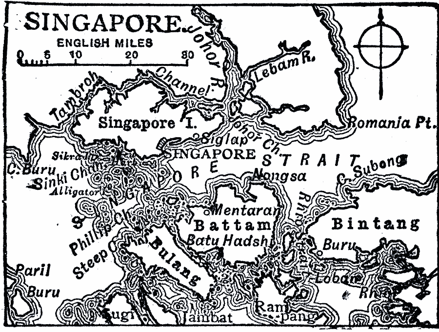
Description: A map from 1919 of the island of Singapore, showing its location in relation to the southern tip of the Malay Peninsula, the Singapore Strait, and the neighboring islands of Bulang, Battam, and Bintang. The map shows the Tambroh Channel separating Singapore Island from the mainland, the city of Singapore on the southern coast of the island, and other cities and ports in the area.
Place Names: Singapore, Singapor
ISO Topic Categories: boundaries,
inlandWaters,
location,
oceans
Keywords: Singapore, physical, physical features, boundaries,
inlandWaters,
location,
oceans, Unknown, 1919
Source: Charles Morris, Winston's Cumulative Encyclopedia Vol 9 (Philadelphia, PA: The John C. Winston Company, 1919) tab 5
Map Credit: Courtesy the private collection of Roy Winkelman |
|