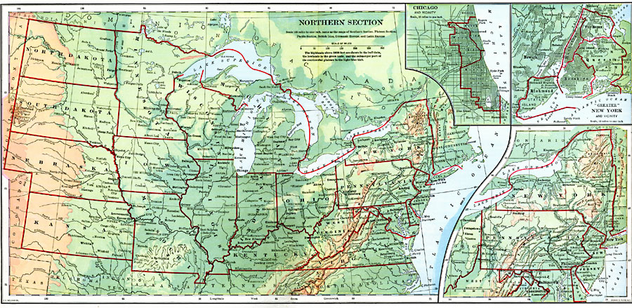
Description: The northern section of the United States.
Place Names: Miscellaneous United States, North Dakota, �South Dakota, �Nebraska, �Kansas, �Missouri, �Iowa, �Minnesota, �Wisconsin, �Illinois, �Kentucky, �Indiana, �Michigan, �Pennsylvania, �Virginia, �West Virginia, �Vermont, �New Hampshire, �Massachusetts, �Connecticut, �New York, �New Jers
ISO Topic Categories: boundaries,
inlandWaters,
location,
oceans
Keywords: The Northern United States, physical, �political, physical features,
topographical, country borders,
major political subdivisions, boundaries,
inlandWaters,
location,
oceans, Unknown, 1901
Source: Jacques W. Redway, Natural Advanced Geography (New York, NY: American Book Company, 1901) 66-67
Map Credit: Courtesy the private collection of Roy Winkelman |
|