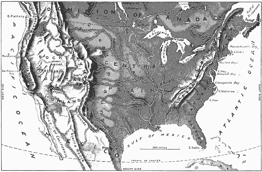
Description: A relief map from 1897 of the United States showing the mountain systems and highlands, plateaus, basins, plains, lakes, river systems, and coastal features.
Place Names: A Complete Map of the United States, Boston, �Chicago, �Houston, �Los Angeles, �Miami, �New Orleans, �New York, �San Diego, �Seattle, �Washington D.C
ISO Topic Categories: location,
oceans,
inlandWaters
Keywords: The United States, country borders, kRelief, country borders, location,
oceans,
inlandWaters, Unknown, 1897
Source: Jacques W. Redway & Russell Hinman, Natural Introductory Geography (New York, NY: American Book Company, 1897) 30
Map Credit: Courtesy the private collection of Roy Winkelman |
|