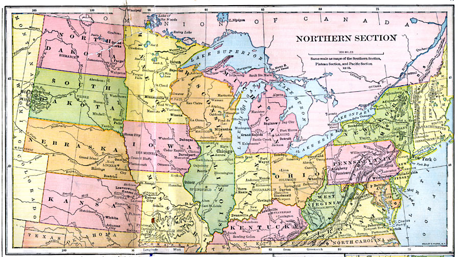
Description: The northern United States.
Place Names: Miscellaneous United States, Connecticut, �Illinois, �Indiana, �Iowa, �Kansas, �Kentucky, �Maine, �Maryland, �Massachusetts, �Michigan, �Minnesota, �Missouri, �Nebraska, �New Hampshire, �New Jersey, �New York, �North Dakota, �Ohio, �Pennsylvania, �Rhode Island, �South Dakota,
ISO Topic Categories: location,
oceans,
inlandWaters
Keywords: Northern Section, physical, physical features,
topographical, location,
oceans,
inlandWaters, Unknown, 1897
Source: Jacques W. Redway & Russell Hinman, Natural Introductory Geography (New York, NY: American Book Company, 1897) 46-47
Map Credit: Courtesy the private collection of Roy Winkelman |
|