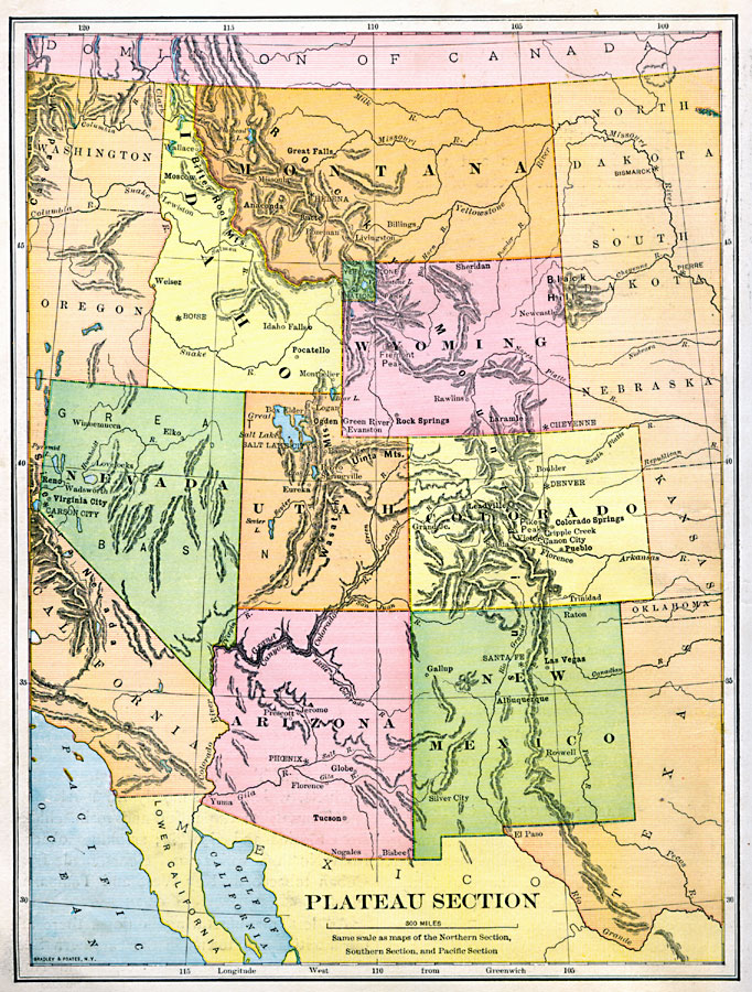
Description: The Plateau Section of the United States.
Place Names: Rocky Mountain States, Arizona, �Colorado, �Idaho, �Montana, �Nevada, �New Mexico, �Utah, �Wyoming, �Rocky Mountains, �Rocky Mountain Regio
ISO Topic Categories: location,
oceans,
inlandWaters
Keywords: Plateau Section of the United States, physical, �topographical, physical features,
topographical, location,
oceans,
inlandWaters, Unknown, 1897
Source: Jacques W. Redway & Russell Hinman, Natural Introductory Geography (New York, NY: American Book Company, 1897) 60
Map Credit: Courtesy the private collection of Roy Winkelman |
|