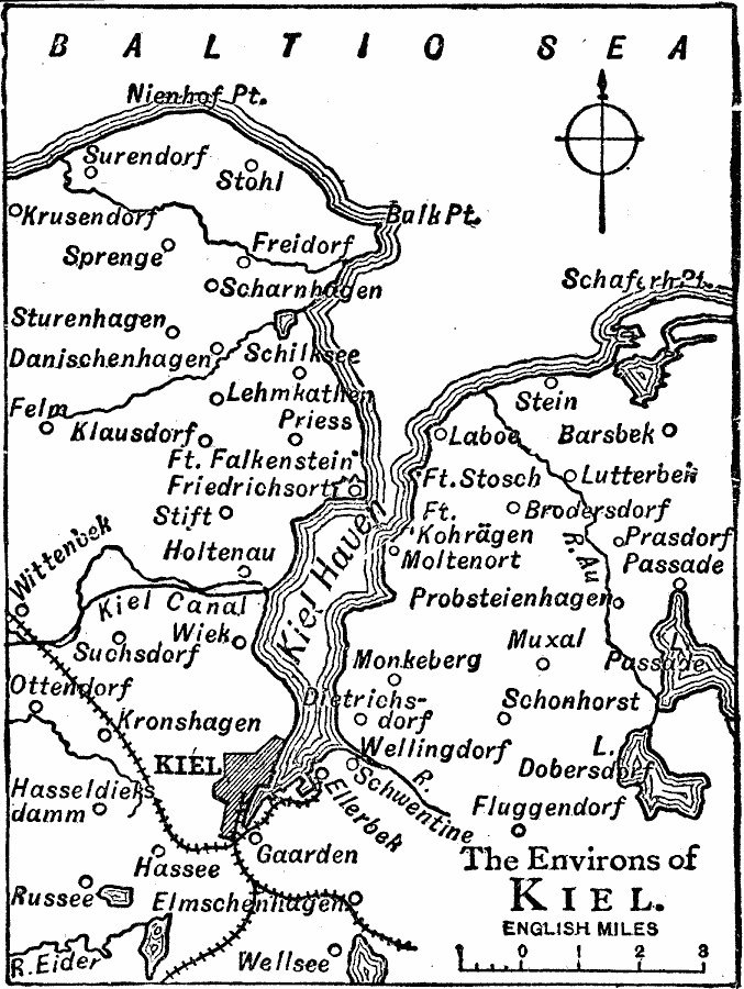
Description: A map of the environs of Kiel on the Baltic Sea in 1919, showing the Kiel Haven, neighboring cities, railway, forts, rivers, and coastal features of the area.
Place Names: Germany, Kie
ISO Topic Categories: transportation,
inlandWaters,
location,
oceans
Keywords: Kiel, physical, �transportation, physical features, railroads, transportation,
inlandWaters,
location,
oceans, Unknown, 1919
Source: Charles Morris, Winston's Cumulative Encyclopedia Vol 6 (Philadelphia, PA: The John C. Winston Company, 1919) tab 3
Map Credit: Courtesy the private collection of Roy Winkelman |
|