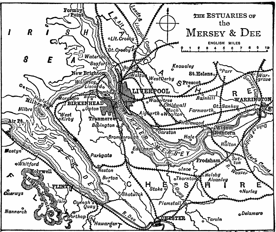
Description: A map of the area around Liverpool, England in 1919, showing the estuaries of the River Mersey and River Dee on the Irish Sea, including major cities, towns, ports, railways, canals, and terrain of the area. This map shows the cities of Liverpool, Birkenhead, Flint, Chester, Warrington, and neighboring towns.
Place Names: United Kingdom, Liverpool, �Warringto
ISO Topic Categories: transportation,
location,
oceans,
inlandWaters
Keywords: Estuaries of the Mersey and Dee, physical, �political, �transportation, physical features, local jurisdictions, railroads, transportation,
location,
oceans,
inlandWaters, Unknown, 1919
Source: Charles Morris, Winston's Cumulative Encyclopedia Vol 6 (Philadelphia, PA: The John C. Winston Company, 1919) tab 7
Map Credit: Courtesy the private collection of Roy Winkelman |
|