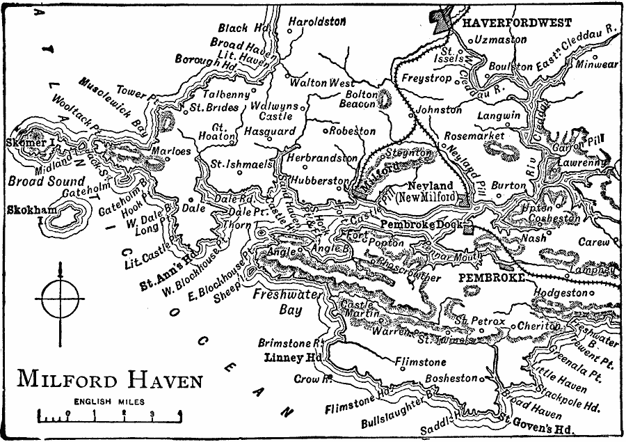
Description: A map of Milford Haven, a seaport in southern Wales, in 1919. This map shows Milford, Nevland (New Milford), Haverford West, Pembroke, and neighboring towns, railways, rivers, terrain, and coastal features of the area.
Place Names: United Kingdom, Pembroke, �Haverfordwes
ISO Topic Categories: transportation,
boundaries,
inlandWaters,
location,
oceans
Keywords: Milford Haven, physical, �political, �transportation, physical features, local jurisdictions, railroads, transportation,
boundaries,
inlandWaters,
location,
oceans, Unknown, 1919
Source: Charles Morris, Winston's Cumulative Encyclopedia Vol 6 (Philadelphia, PA: The John C. Winston Company, 1919) tab 17
Map Credit: Courtesy the private collection of Roy Winkelman |
|