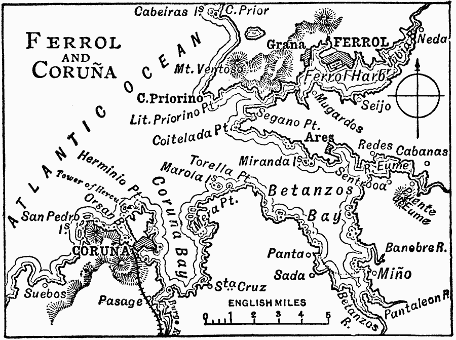
Description: A 1919 map showing the area around Ferrol and Coruna on the Atlantic Coast of Spain, north of Portugal. The map shows Betanzos and Coruna bays, neighboring cities, towns and ports, railways, terrain and coastal features of the area.
Place Names: Spain, Coruna, �Ferro
ISO Topic Categories: transportation,
location,
oceans,
inlandWaters
Keywords: Ferrol and Coruna, physical, �political, �transportation, physical features, local jurisdictions, railroads, transportation,
location,
oceans,
inlandWaters, Unknown, 1919
Source: Charles Morris, Winston's Cumulative Encyclopedia Vol 4 (Philadelphia, PA: The John C. Winston Company, 1919) tab 11
Map Credit: Courtesy the private collection of Roy Winkelman |
|