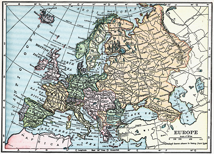
Description: A map of Europe in 1919, showing cities and railway routes.
Place Names: A Complete Map of Europe, France, �Greece, �Germany, �Italy, �Poland, �Spain, �Portugal, �Romania, �Sweden, �United Kingdom, �Norway, �Icelan
ISO Topic Categories: boundaries,
transportation,
location,
oceans,
inlandWaters
Keywords: Europe, physical, �political, �transportation, physical features, major political subdivisions, railroads, boundaries,
transportation,
location,
oceans,
inlandWaters, Unknown, 1919
Source: Charles Morris, Winston's Cumulative Encyclopedia Vol 4 (Philadelphia, PA: The John C. Winston Company, 1919) 12
Map Credit: Courtesy the private collection of Roy Winkelman |
|