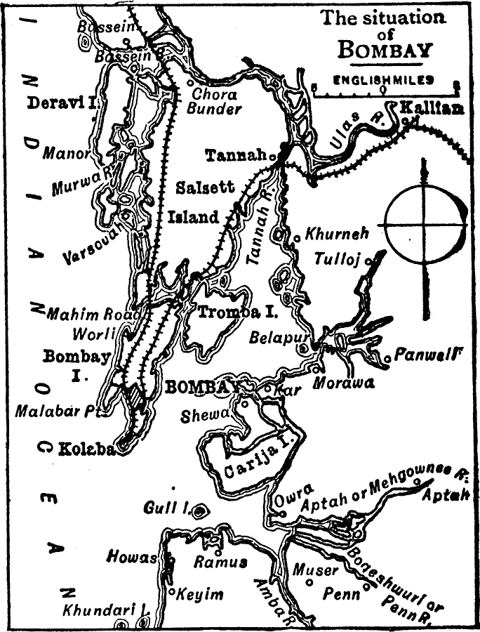
Description: A sketch map from 1919 of the area around Bombay (Mumbai) Harbor, showing the islands of Deravi, Salsette, Tromba, Bombay, Kolaba, and Carija, the railroads north from Kolaba, and the urban area of Mumbai at the time.
Place Names: India , Mumba
ISO Topic Categories: inlandWaters,
location,
oceans,
transportation,
boundaries
Keywords: Mumbai, physical, �political, �transportation, physical features, local jurisdictions, railroads, inlandWaters,
location,
oceans,
transportation,
boundaries, Unknown, 1919
Source: Charles Morris, Winston's Cumulative Encyclopedia Vol 2 (Philadelphia, PA: The John C. Winston Company, 1919) tab 1
Map Credit: Courtesy the private collection of Roy Winkelman |
|