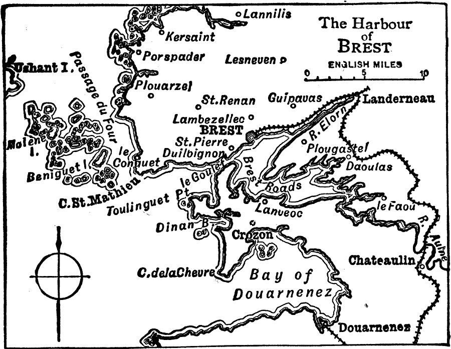
Description: A map of the harbor of Brest in Brittany around 1919, showing the Bay of Duarnenez, neighboring cities and towns, the railway, and coastal features.
Place Names: France, Bres
ISO Topic Categories: transportation,
location,
oceans,
inlandWaters
Keywords: The Harbor of Brest, political, �physical, �transportation, physical features, local jurisdictions, railroads, transportation,
location,
oceans,
inlandWaters, Unknown, 1919
Source: Charles Morris, Winston's Cumulative Encyclopedia Vol 2 (Philadelphia, PA: The John C. Winston Company, 1919)
Map Credit: Courtesy the private collection of Roy Winkelman |
|